← Back to services
04Service
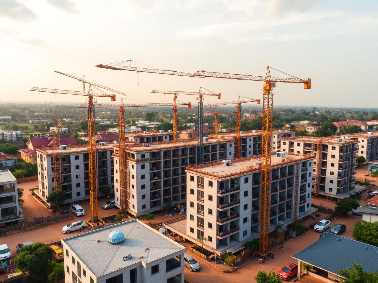
Drone & Aerial Footage
Aerial photos and videos that show location, scale, landscape, and neighborhood context.
Pricing · From RWF 250,000Duration · 1–3 hours on site
About this service
**Overview**
Licensed drone photography and 4K aerial cinematography for property, architecture, hospitality, construction, and event work. We fly compliant with Rwanda Civil Aviation Authority rules and carry the paperwork to prove it.
**Why it matters**
Aerials are the fastest way to communicate location, plot size, and neighbourhood — three things buyers and investors care about most. A single reveal shot can do more to sell a hillside villa or a hotel's waterfront setting than ten ground-level photos.
**Who it's for**
Developers documenting site progress, hospitality groups showcasing setting, real estate agents marketing land and large estates, architects documenting context, event producers, and tourism marketers.
**How we deliver**
We confirm airspace clearance, fly within the legal window, and capture both stills and 4K b-roll in a focused 1–3 hour visit. Edited deliverables are returned within 3–5 business days.
What's included
- 10–15 high-resolution aerial stills
- 4K aerial video b-roll (1–2 minutes raw selects)
- Reveal, orbit, and top-down signature moves
- Edited 30–60 second aerial highlight clip on request
- Licensed RCAA-compliant drone operation
- Site context, boundaries, and neighbourhood framing
- Delivery within 3–5 business days